
Thank you for supporting this site ❤️
Make a donation
Make a donation
Gear up for your next adventure:
As an Amazon Associate, this site earns from qualifying purchases at no extra cost to you.
Nakamun topographic map
Click on the map to display elevation.
Thank you for supporting this site ❤️
Make a donation
Make a donation
Gear up for your next adventure:
As an Amazon Associate, this site earns from qualifying purchases at no extra cost to you.
About this map
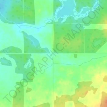
Name: Nakamun topographic map, elevation, terrain.
Location: Nakamun, Lac Ste. Anne County, Alberta, Canada (53.85115 -114.25969 53.87115 -114.23969)
Average elevation: 2,297 ft
Minimum elevation: 2,247 ft
Maximum elevation: 2,369 ft
Thank you for supporting this site ❤️
Make a donation
Make a donation
Gear up for your next adventure:
As an Amazon Associate, this site earns from qualifying purchases at no extra cost to you.