Geolocate

Cavelossim topographic map

Click on the map to display elevation.

About this map

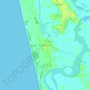
Name: Cavelossim topographic map, elevation, terrain.

Location: Cavelossim, Salcete, South Goa, Goa, 403731, India (15.16456 73.92563 15.20456 73.96563)

Average elevation: 13 ft

Minimum elevation: -3 ft

Maximum elevation: 56 ft

Other topographic maps

Click on a map to view its topography, its elevation and its terrain.

Sal

India > Goa > Salcete > Parlmar Grande

Average elevation: 49 ft

Gear up for your next adventure:

🎒Outdoor Daypacks - Lightweight backpacks designed for carrying maps and essential gear
🛶Inflatable Kayak - Portable kayak for rivers, lakes, and expeditions
📷Action Cameras - Rugged cameras to document your journeys across rugged terrain
🌲Outdoor Survival Books - Best books on survival skills
🪶Thermal Camp Blanket - Extra warmth for cold nights

As an Amazon Associate, this site earns from qualifying purchases at no extra cost to you.