
Menchum topographic map
Interactive map
Click on the map to display elevation.
About this map
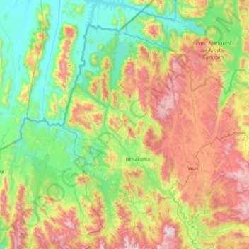
Name: Menchum topographic map, elevation, terrain.
Location: Menchum, Northwest, Cameroon (6.15955 9.75607 6.86269 10.09535)
Average elevation: 2,293 ft
Minimum elevation: 538 ft
Maximum elevation: 5,705 ft
Other topographic maps
Click on a map to view its topography, its elevation and its terrain.