
Momo topographic map
Interactive map
Click on the map to display elevation.
About this map
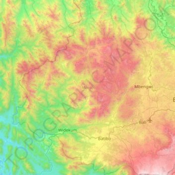
Name: Momo topographic map, elevation, terrain.
Location: Momo, Northwest, Cameroon (5.71858 9.59045 6.28092 10.05966)
Average elevation: 3,563 ft
Minimum elevation: 420 ft
Maximum elevation: 8,615 ft
Other topographic maps
Click on a map to view its topography, its elevation and its terrain.