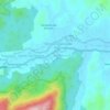
Tampin topographic map
Click on the map to display elevation.
About this map
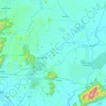
Name: Tampin topographic map, elevation, terrain.
Location: Tampin, Negeri Sembilan, Malaysia (2.40956 102.19649 2.69022 102.64350)
Average elevation: 318 ft
Minimum elevation: 20 ft
Maximum elevation: 3,983 ft
Other topographic maps
Click on a map to view its topography, its elevation and its terrain.





Kampung Orang Asli Kolam Air
Malaysia > Negeri Sembilan > Kampung Baru Pantai
Average elevation: 551 ft








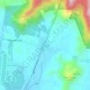
Broga
The hill, approximately 400 m (1,300 ft) in altitude, is notable for its unique appearance as it is rather devoid of trees, which is an uncommon sight amongst the tropical rainforests surrounding the region. Cogongrass typically dominates the summit area. Remnants of burnt out tree trunks indicate that the…
Average elevation: 463 ft


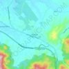
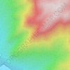
Gunung Datuk
The main highlight of the mountain is a tor that consists of massive granite boulders, at the elevation of 855 m (2,805 ft).
Average elevation: 1,476 ft


Gunung Angsi
Part of the Titiwangsa Mountains, it is the seventh tallest mountain in the state, behind Mts. Besar Hantu, Hantu Kecil, Telapak Buruk, Berembun and Datuk, with an elevation of 2,707 feet (825 m).
Average elevation: 1,811 ft


Gunung Besar Hantu
Due to its higher altitude relative to other Negri mountains, the summit of Besar Hantu experiences a constant cool highland climate, where it also hosts a mossy forest nearby.
Average elevation: 3,330 ft










Gunung Datuk
The main highlight of the mountain is a tor that consists of massive granite boulders, at the elevation of 855 m (2,805 ft).
Average elevation: 1,476 ft



Pokok Kelat Gelam
Malaysia > Negeri Sembilan > Kampung Peradong > Kampung Seri Temoi
Average elevation: 676 ft





Gunung Angsi
Part of the Titiwangsa Mountains, it is the seventh tallest mountain in the state, behind Mts. Besar Hantu, Hantu Kecil, Telapak Buruk, Berembun and Datuk, with an elevation of 2,707 feet (825 m).
Average elevation: 1,811 ft

Gunung Datuk
The main highlight of the mountain is a tor that consists of massive granite boulders, at the elevation of 855 m (2,805 ft).
Average elevation: 1,476 ft