Geolocate

Carthage topographic map

Click on the map to display elevation.

About this map

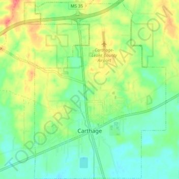
Name: Carthage topographic map, elevation, terrain.

Location: Carthage, Leake County, Mississippi, United States (32.71653 -89.55817 32.77611 -89.50604)

Average elevation: 384 ft

Minimum elevation: 308 ft

Maximum elevation: 505 ft

Leake County trails, hiking, mountain biking, running and outdoor activities

Other topographic maps

Click on a map to view its topography, its elevation and its terrain.

Standing Pine

United States > Mississippi > Leake County

Average elevation: 417 ft

Gear up for your next adventure:

GPS Sports Watch - GPS watch for running, hiking and training
🪶Compact Camp Shovel - Folding shovel for campsite tasks
🔥Fast-Boil Camping Stoves - Efficient cooking systems for quick trail meals
🚁Photography Drones - Capture stunning aerial views of landforms and topography
🥄Camping Utensil Set - Lightweight utensils for outdoor meals

As an Amazon Associate, this site earns from qualifying purchases at no extra cost to you.