
商都路街道 topographic map
Interactive map
Click on the map to display elevation.
About this map
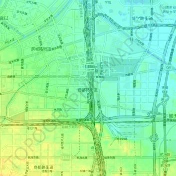
Name: 商都路街道 topographic map, elevation, terrain.
Location: 商都路街道, 管城回族区, 郑州市, 河南省, 中国 (34.73542 113.72334 34.76702 113.81357)
Average elevation: 295 ft
Minimum elevation: 266 ft
Maximum elevation: 338 ft
Other topographic maps
Click on a map to view its topography, its elevation and its terrain.