
郭家咀水库 topographic map
Interactive map
Click on the map to display elevation.
About this map
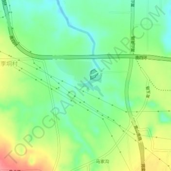
Name: 郭家咀水库 topographic map, elevation, terrain.
Location: 郭家咀水库, 二七区, 郑州市, 河南省, 中国 (34.65869 113.61106 34.66218 113.61627)
Average elevation: 571 ft
Minimum elevation: 463 ft
Maximum elevation: 738 ft
Other topographic maps
Click on a map to view its topography, its elevation and its terrain.