
榕江 topographic map
Interactive map
Click on the map to display elevation.
About this map
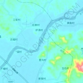
Name: 榕江 topographic map, elevation, terrain.
Location: 榕江, 普宁市, 揭阳市, 广东省, 中国 (23.47805 116.12642 23.52056 116.18922)
Average elevation: 66 ft
Minimum elevation: 7 ft
Maximum elevation: 650 ft
Other topographic maps
Click on a map to view its topography, its elevation and its terrain.