
榕城区 topographic map
Interactive map
Click on the map to display elevation.
About this map
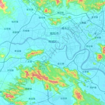
Name: 榕城区 topographic map, elevation, terrain.
Location: 榕城区, 揭阳市, 广东省, 中国 (23.38685 116.27205 23.59831 116.62957)
Average elevation: 131 ft
Minimum elevation: -7 ft
Maximum elevation: 1,470 ft
Other topographic maps
Click on a map to view its topography, its elevation and its terrain.