Geolocate

Perry Park topographic map

Click on the map to display elevation.

About this map

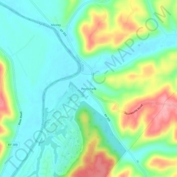
Name: Perry Park topographic map, elevation, terrain.

Location: Perry Park, Owen County, Kentucky, 40363, United States (38.52812 -85.01967 38.56812 -84.97967)

Average elevation: 568 ft

Minimum elevation: 440 ft

Maximum elevation: 843 ft

Owen County trails, hiking, mountain biking, running and outdoor activities

Other topographic maps

Click on a map to view its topography, its elevation and its terrain.

Owenton

United States > Kentucky > Owen County

Average elevation: 899 ft

Gratz

United States > Kentucky > Owen County

Average elevation: 568 ft

Owenton

United States > Kentucky > Owen County

Average elevation: 899 ft

Gear up for your next adventure:

🌐World Map Poster - Decorative world maps with topographic info
👟Men's Trail Runners - Lightweight footwear for fast-paced exploration and light hiking
🏕️Tent Footprint - Protect your tent base from wear
🚁Photography Drones - Capture stunning aerial views of landforms and topography
🔋Rechargeable Batteries - Power up your outdoor devices

As an Amazon Associate, this site earns from qualifying purchases at no extra cost to you.