Geolocate

Sector 62 topographic map

Interactive map

Click on the map to display elevation.

About this map

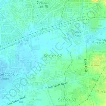
Name: Sector 62 topographic map, elevation, terrain.

Location: Sector 62, Gurgaon, Gurugram District, Haryana, India (28.39947 77.07466 28.41733 77.09236)

Average elevation: 771 ft

Minimum elevation: 751 ft

Maximum elevation: 814 ft

Other topographic maps

Click on a map to view its topography, its elevation and its terrain.

Sector 85

India > Haryana > Gurugram District

Sector 85, Manesar, Gurugram District, Haryana, India

Average elevation: 748 ft

Sector 109

India > Haryana > Gurugram District

Sector 109, Gurgaon, Gurugram District, Haryana, India

Average elevation: 702 ft

Gurgaon

India > Haryana > Gurugram District

Gurgaon, Gurugram District, Haryana, India

Average elevation: 778 ft

Leisure Valley Park

India > Haryana > Gurugram District

Leisure Valley Park, Sector 29, Gurgaon, Gurugram District, Haryana, India

Average elevation: 771 ft

Sohna

India > Haryana > Gurugram District

Sohna, Gurugram, Haryana, India

Average elevation: 794 ft