
Leisure Valley Park topographic map
Interactive map
Click on the map to display elevation.
About this map
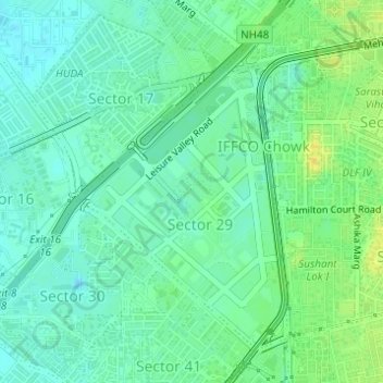
Name: Leisure Valley Park topographic map, elevation, terrain.
Average elevation: 771 ft
Minimum elevation: 738 ft
Maximum elevation: 833 ft
Other topographic maps
Click on a map to view its topography, its elevation and its terrain.
Sector 62
India > Haryana > Gurugram District
Sector 62, Gurgaon, Gurugram District, Haryana, India
Average elevation: 771 ft
Sector 85
India > Haryana > Gurugram District
Sector 85, Manesar, Gurugram District, Haryana, India
Average elevation: 748 ft
Sector 109
India > Haryana > Gurugram District
Sector 109, Gurgaon, Gurugram District, Haryana, India
Average elevation: 702 ft
Gurgaon
India > Haryana > Gurugram District
Gurgaon, Gurugram District, Haryana, India
Average elevation: 778 ft