Geolocate

Paroda topographic map

Click on the map to display elevation.

About this map

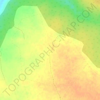
Name: Paroda topographic map, elevation, terrain.

Location: Paroda, Bamori Tahsil, Guna District, Madhya Pradesh, India (24.98362 76.98703 25.00313 77.00956)

Average elevation: 1,358 ft

Minimum elevation: 1,270 ft

Maximum elevation: 1,391 ft

Other topographic maps

Click on a map to view its topography, its elevation and its terrain.

Ratnagir

India > Madhya Pradesh > Bamori Tahsil

Average elevation: 1,293 ft

Bamori

India > Madhya Pradesh > Bamori Tahsil

Average elevation: 1,437 ft

Gear up for your next adventure:

🩹Survival Bandages - High‑quality bandages for emergencies
🔥Fast-Boil Camping Stoves - Efficient cooking systems for quick trail meals
📌Outdoor GPS Map App - Apps and devices for digital topographic navigation
📶Vehicle Signal Boosters - Improve reception in rural areas while driving to trailheads
🚁Photography Drones - Capture stunning aerial views of landforms and topography

As an Amazon Associate, this site earns from qualifying purchases at no extra cost to you.