
Thank you for supporting this site ❤️
Make a donation
Make a donation
Gear up for your next adventure:
As an Amazon Associate, this site earns from qualifying purchases at no extra cost to you.
Ratnagir topographic map
Click on the map to display elevation.
Thank you for supporting this site ❤️
Make a donation
Make a donation
Gear up for your next adventure:
As an Amazon Associate, this site earns from qualifying purchases at no extra cost to you.
About this map
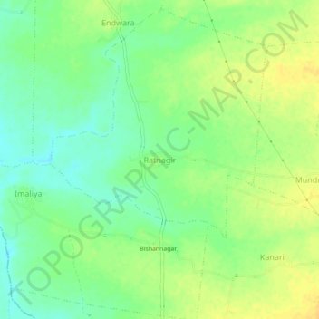
Name: Ratnagir topographic map, elevation, terrain.
Location: Ratnagir, Bamori Tahsil, Guna District, Madhya Pradesh, India (24.63523 77.07227 24.67523 77.11227)
Average elevation: 1,293 ft
Minimum elevation: 1,247 ft
Maximum elevation: 1,332 ft
Thank you for supporting this site ❤️
Make a donation
Make a donation
Gear up for your next adventure:
As an Amazon Associate, this site earns from qualifying purchases at no extra cost to you.
Other topographic maps
Click on a map to view its topography, its elevation and its terrain.