
重固镇 topographic map
Interactive map
Click on the map to display elevation.
About this map
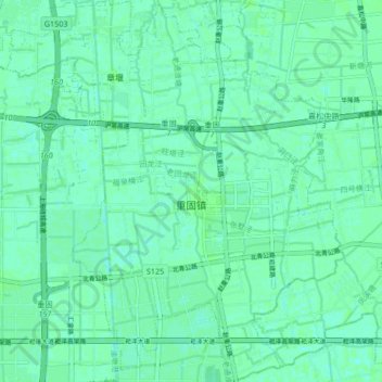
Name: 重固镇 topographic map, elevation, terrain.
Location: 重固镇, 青浦区, 上海市, 中国 (31.16900 121.13284 31.24072 121.20705)
Average elevation: 13 ft
Minimum elevation: 0 ft
Maximum elevation: 20 ft
Other topographic maps
Click on a map to view its topography, its elevation and its terrain.