
淀山湖 topographic map
Interactive map
Click on the map to display elevation.
About this map
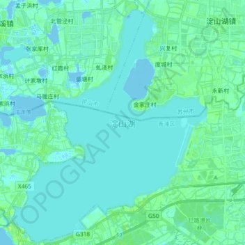
Name: 淀山湖 topographic map, elevation, terrain.
Location: 淀山湖, 青浦区, 上海市, 中国 (31.07058 120.90231 31.19490 121.01934)
Average elevation: 10 ft
Minimum elevation: -20 ft
Maximum elevation: 39 ft
Other topographic maps
Click on a map to view its topography, its elevation and its terrain.