
徐泾镇 topographic map
Interactive map
Click on the map to display elevation.
About this map
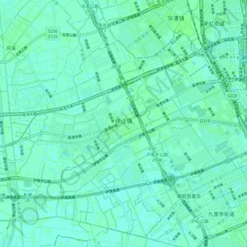
Name: 徐泾镇 topographic map, elevation, terrain.
Location: 徐泾镇, 青浦区, 上海市, 201702, 中国 (31.13469 121.22252 31.21274 121.31964)
Average elevation: 13 ft
Minimum elevation: 3 ft
Maximum elevation: 23 ft
Other topographic maps
Click on a map to view its topography, its elevation and its terrain.