
官亭镇 topographic map
Interactive map
Click on the map to display elevation.
About this map
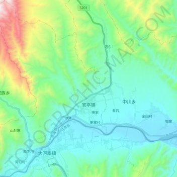
Name: 官亭镇 topographic map, elevation, terrain.
Location: 官亭镇, 民和回族土族自治县, 海东市, 青海省, 中国 (35.81704 102.66894 35.95698 102.81709)
Average elevation: 6,745 ft
Minimum elevation: 5,735 ft
Maximum elevation: 10,499 ft
Other topographic maps
Click on a map to view its topography, its elevation and its terrain.