
满坪镇 topographic map
Interactive map
Click on the map to display elevation.
About this map
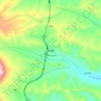
Name: 满坪镇 topographic map, elevation, terrain.
Location: 满坪镇, 民和回族土族自治县, 海东市, 青海省, 中国 (35.98421 102.73389 36.06421 102.81389)
Average elevation: 7,940 ft
Minimum elevation: 6,975 ft
Maximum elevation: 9,820 ft
Other topographic maps
Click on a map to view its topography, its elevation and its terrain.