
中川乡 topographic map
Interactive map
Click on the map to display elevation.
About this map
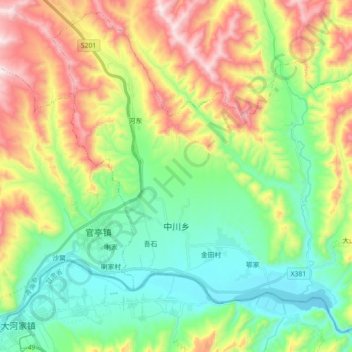
Name: 中川乡 topographic map, elevation, terrain.
Location: 中川乡, 民和回族土族自治县, 海东市, 青海省, 中国 (35.82981 102.77576 35.96488 102.95417)
Average elevation: 6,565 ft
Minimum elevation: 5,709 ft
Maximum elevation: 8,091 ft
Other topographic maps
Click on a map to view its topography, its elevation and its terrain.