
攀天阁乡 topographic map
Interactive map
Click on the map to display elevation.
About this map
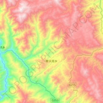
Name: 攀天阁乡 topographic map, elevation, terrain.
Location: 攀天阁乡, 维西傈僳族自治县, 迪庆藏族自治州, 云南省, 中国 (27.23854 99.11039 27.47117 99.30692)
Average elevation: 9,124 ft
Minimum elevation: 5,390 ft
Maximum elevation: 12,664 ft
Other topographic maps
Click on a map to view its topography, its elevation and its terrain.