
白济汛乡 topographic map
Interactive map
Click on the map to display elevation.
About this map
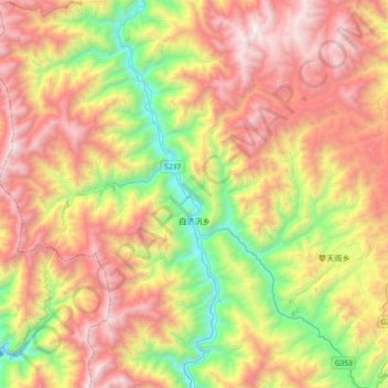
Name: 白济汛乡 topographic map, elevation, terrain.
Location: 白济汛乡, 维西傈僳族自治县, 迪庆藏族自治州, 云南省, 中国 (27.22339 98.90178 27.55102 99.19661)
Average elevation: 9,265 ft
Minimum elevation: 5,364 ft
Maximum elevation: 13,635 ft
Other topographic maps
Click on a map to view its topography, its elevation and its terrain.