
塔城镇 topographic map
Interactive map
Click on the map to display elevation.
About this map
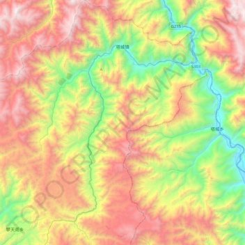
Name: 塔城镇 topographic map, elevation, terrain.
Location: 塔城镇, 维西傈僳族自治县, 迪庆藏族自治州, 云南省, 中国 (27.31027 99.18643 27.67599 99.54290)
Average elevation: 9,692 ft
Minimum elevation: 6,152 ft
Maximum elevation: 14,039 ft
Other topographic maps
Click on a map to view its topography, its elevation and its terrain.