Geolocate

Ritzville topographic map

Click on the map to display elevation.

About this map

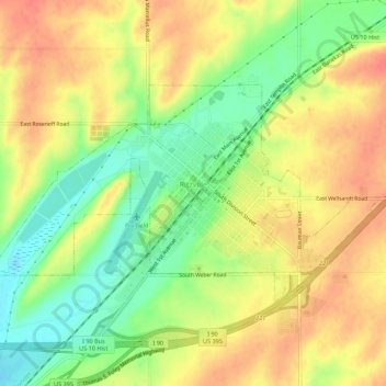
Name: Ritzville topographic map, elevation, terrain.

Location: Ritzville, Adams County, Washington, United States (47.11549 -118.40904 47.13659 -118.35400)

Average elevation: 1,854 ft

Minimum elevation: 1,759 ft

Maximum elevation: 1,923 ft

Adams County trails, hiking, mountain biking, running and outdoor activities

Other topographic maps

Click on a map to view its topography, its elevation and its terrain.

Benge

United States > Washington > Adams County

Average elevation: 1,572 ft

Gear up for your next adventure:

📷Action Camera - Capture your outdoor adventures in HD
🥤Water Filter Bottle - All‑in‑one filter bottle for safe hydration
GPS Sports Watch - GPS watch for running, hiking and training
📶Satellite Messenger - Communication device off‑grid
🧴Hand Sanitizer - Keep hands clean while hiking

As an Amazon Associate, this site earns from qualifying purchases at no extra cost to you.