
曲麻莱县 topographic map
Interactive map
Click on the map to display elevation.
About this map
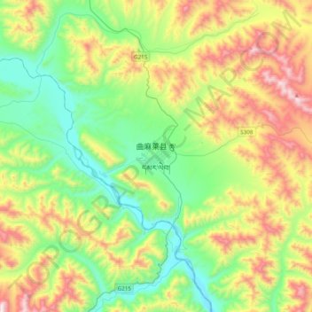
Name: 曲麻莱县 topographic map, elevation, terrain.
Location: 曲麻莱县, 玉树藏族自治州, 青海省, 中国 (33.97798 95.65632 34.29798 95.97632)
Average elevation: 14,672 ft
Minimum elevation: 13,284 ft
Maximum elevation: 17,057 ft
Other topographic maps
Click on a map to view its topography, its elevation and its terrain.