
雅拉达泽峰 topographic map
Interactive map
Click on the map to display elevation.
About this map
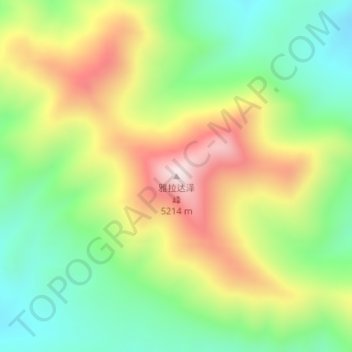
Name: 雅拉达泽峰 topographic map, elevation, terrain.
Location: 雅拉达泽峰, 曲麻莱县, 玉树藏族自治州, 青海省, 中国 (35.16143 95.69226 35.16153 95.69236)
Average elevation: 16,099 ft
Minimum elevation: 15,381 ft
Maximum elevation: 17,093 ft
Other topographic maps
Click on a map to view its topography, its elevation and its terrain.