
索南达杰保护站 topographic map
Interactive map
Click on the map to display elevation.
About this map
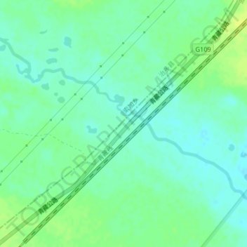
Name: 索南达杰保护站 topographic map, elevation, terrain.
Location: 索南达杰保护站, 曲麻莱县, 玉树藏族自治州, 青海省, 中国 (35.42223 93.59020 35.44223 93.61020)
Average elevation: 14,649 ft
Minimum elevation: 14,626 ft
Maximum elevation: 14,678 ft
Other topographic maps
Click on a map to view its topography, its elevation and its terrain.