
Holton topographic map
Click on the map to display elevation.
About this map
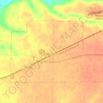
Name: Holton topographic map, elevation, terrain.
Location: Holton, Ripley County, Indiana, 47023, United States (39.06768 -85.40107 39.08383 -85.36775)
Average elevation: 909 ft
Minimum elevation: 797 ft
Maximum elevation: 935 ft
Ripley County trails, hiking, mountain biking, running and outdoor activities
Other topographic maps
Click on a map to view its topography, its elevation and its terrain.