Geolocate

Steinbach topographic map

Click on the map to display elevation.

About this map

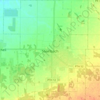
Name: Steinbach topographic map, elevation, terrain.

Location: Steinbach, Winnipeg (city), Manitoba, Canada (49.48797 -96.75618 49.57488 -96.64279)

Average elevation: 860 ft

Minimum elevation: 810 ft

Maximum elevation: 922 ft

Gear up for your next adventure:

🪶Camping Sleeping Pad - Comfortable sleeping pad for backpacking
🌡️Handheld Weather Meters - Measure wind, temp, and pressure for safe mountain travel
🔋Rechargeable Batteries - Power up your outdoor devices
🧯Emergency Survival Kit - All‑in‑one survival essentials for the backcountry
🦺Reflective Outdoor Gear - Safety gear for low‑light conditions

As an Amazon Associate, this site earns from qualifying purchases at no extra cost to you.