

Omsk topographic map
Click on the map to display elevation.
Omsk
Omsk is in the south of the West Siberian Plain, along the banks of the north-flowing Irtysh, at its confluence with the Om River. The city has an elevation of 87 meters (285 ft) above mean sea level at its highest point.
About this map
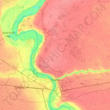
Name: Omsk topographic map, elevation, terrain.
Location: Omsk, Omsk Oblast, Siberian Federal District, Russia (54.82404 73.09753 55.42657 73.65994)
Average elevation: 351 ft
Minimum elevation: 207 ft
Maximum elevation: 469 ft