
岐山村 topographic map
Interactive map
Click on the map to display elevation.
About this map
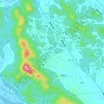
Name: 岐山村 topographic map, elevation, terrain.
Location: 岐山村, 潮州市, 广东省, 中国 (23.75995 116.91573 23.79995 116.95573)
Average elevation: 187 ft
Minimum elevation: 33 ft
Maximum elevation: 876 ft
Other topographic maps
Click on a map to view its topography, its elevation and its terrain.