
旗山 topographic map
Interactive map
Click on the map to display elevation.
About this map
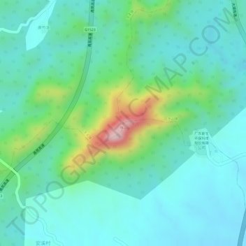
Name: 旗山 topographic map, elevation, terrain.
Location: 旗山, 潮州市, 广东省, 中国 (23.78247 116.86428 23.78257 116.86438)
Average elevation: 276 ft
Minimum elevation: 49 ft
Maximum elevation: 968 ft
Other topographic maps
Click on a map to view its topography, its elevation and its terrain.