
卓村 topographic map
Interactive map
Click on the map to display elevation.
About this map
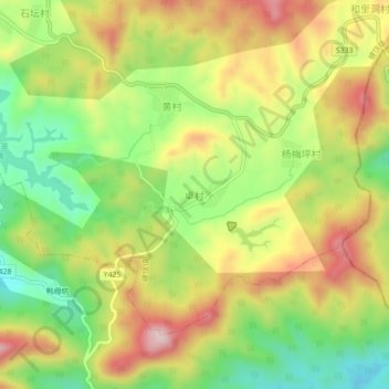
Name: 卓村 topographic map, elevation, terrain.
Location: 卓村, 潮州市, 广东省, 中国 (23.96071 116.93084 24.00071 116.97084)
Average elevation: 1,079 ft
Minimum elevation: 541 ft
Maximum elevation: 1,670 ft
Other topographic maps
Click on a map to view its topography, its elevation and its terrain.