
Klöntalersee topographic map
Interactive map
Click on the map to display elevation.
About this map
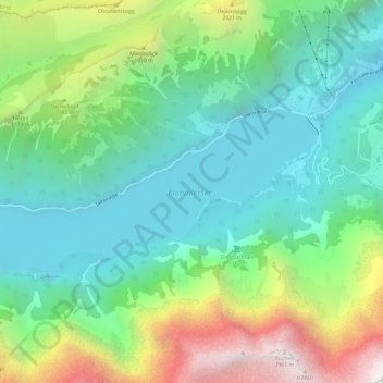
Name: Klöntalersee topographic map, elevation, terrain.
Location: Klöntalersee, Seestrasse, Plätz, Glarona, 6667, Svizzera (47.01898 8.94636 47.03678 9.00673)
Average elevation: 4,698 ft
Minimum elevation: 2,566 ft
Maximum elevation: 9,514 ft
Other topographic maps
Click on a map to view its topography, its elevation and its terrain.