
Ruchen topographic map
Interactive map
Click on the map to display elevation.
About this map
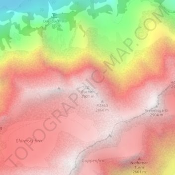
Name: Ruchen topographic map, elevation, terrain.
Location: Ruchen, Glarona, Svizzera (47.01057 9.00131 47.01067 9.00141)
Average elevation: 7,221 ft
Minimum elevation: 2,753 ft
Maximum elevation: 9,514 ft
Other topographic maps
Click on a map to view its topography, its elevation and its terrain.