Geolocate

Mountsberg topographic map

Click on the map to display elevation.

About this map

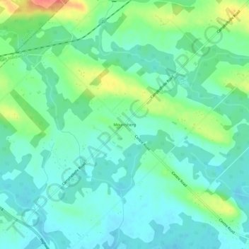
Name: Mountsberg topographic map, elevation, terrain.

Location: Mountsberg, Hamilton, Golden Horseshoe, Ontario, Canada (43.41528 -80.06309 43.45528 -80.02309)

Average elevation: 965 ft

Minimum elevation: 906 ft

Maximum elevation: 1,119 ft

Gear up for your next adventure:

GPS Sports Watch - GPS watch for running, hiking and training
🧭Outdoor Navigation Book - Learn advanced navigation skills
🏥Hiking First Aid Kits - Comprehensive medical kits for remote trail injuries
🚁Photography Drones - Capture stunning aerial views of landforms and topography
🔋Solar Power Banks - Keep your GPS and phone charged in remote wilderness areas

As an Amazon Associate, this site earns from qualifying purchases at no extra cost to you.