
Thank you for supporting this site ❤️
Make a donation
Make a donation
Gear up for your next adventure:
As an Amazon Associate, this site earns from qualifying purchases at no extra cost to you.
Klintonel topographic map
Click on the map to display elevation.
Thank you for supporting this site ❤️
Make a donation
Make a donation
Gear up for your next adventure:
As an Amazon Associate, this site earns from qualifying purchases at no extra cost to you.
About this map
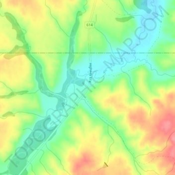
Name: Klintonel topographic map, elevation, terrain.
Location: Klintonel, White Valley No. 49, Saskatchewan, Canada (49.68293 -108.92357 49.70293 -108.90357)
Average elevation: 3,589 ft
Minimum elevation: 3,465 ft
Maximum elevation: 3,743 ft
Thank you for supporting this site ❤️
Make a donation
Make a donation
Gear up for your next adventure:
As an Amazon Associate, this site earns from qualifying purchases at no extra cost to you.