
Maple Ridge Park topographic map
Click on the map to display elevation.
About this map
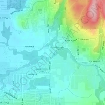
Name: Maple Ridge Park topographic map, elevation, terrain.
Average elevation: 135 ft
Minimum elevation: 10 ft
Maximum elevation: 584 ft
Other topographic maps
Click on a map to view its topography, its elevation and its terrain.
Cliff Falls
Canada > British Columbia > Metro Vancouver Regional District > Maple Ridge
Average elevation: 348 ft
Golden Ears
Canada > British Columbia > Metro Vancouver Regional District > Maple Ridge
Average elevation: 620 ft