Geolocate

الملقى topographic map

Interactive map

Click on the map to display elevation.

About this map

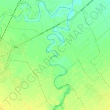
Name: الملقى topographic map, elevation, terrain.

Location: الملقى, معتمدية جندوبة الجنوبية, Jendouba, Tunisia (36.46616 8.78072 36.54070 8.87019)

Average elevation: 463 ft

Minimum elevation: 427 ft

Maximum elevation: 495 ft

Other topographic maps

Click on a map to view its topography, its elevation and its terrain.

ناظور

Tunisia > Jendouba

ناظور, معتمدية طبرقة, Jendouba, Tunisia

Average elevation: 1,115 ft

القلعة

Tunisia > Jendouba

القلعة, معتمدية غار الدماء, Jendouba, Tunisia

Average elevation: 1,588 ft

Babouch

Tunisia > Jendouba > Babouch

Babouch, أولاد سدرة, عين دراهم, Jendouba, Tunisia

Average elevation: 1,729 ft

مراسن

Tunisia > Jendouba > مراسن

مراسن, معتمدية غار الدماء, Jendouba, Tunisia

Average elevation: 935 ft