
Ballantrae topographic map
Click on the map to display elevation.
About this map
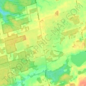
Name: Ballantrae topographic map, elevation, terrain.
Average elevation: 1,099 ft
Minimum elevation: 1,014 ft
Maximum elevation: 1,165 ft
Other topographic maps
Click on a map to view its topography, its elevation and its terrain.
Whitchurch-Stouffville Community Park, Vandorf
Canada > Ontario > York Region > Whitchurch-Stouffville
Average elevation: 1,001 ft