
Burley topographic map
Click on the map to display elevation.
About this map
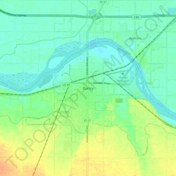
Name: Burley topographic map, elevation, terrain.
Location: Burley, Cassia County, Idaho, 83318, United States (42.49574 -113.83279 42.57574 -113.75279)
Average elevation: 4,170 ft
Minimum elevation: 4,127 ft
Maximum elevation: 4,242 ft
Cassia County trails, hiking, mountain biking, running and outdoor activities