
葵涌 topographic map
Interactive map
Click on the map to display elevation.
About this map
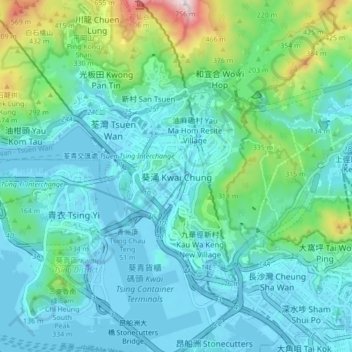
Name: 葵涌 topographic map, elevation, terrain.
Location: 葵涌, 葵青區, 新界, 香港, 中国 (22.32096 114.08901 22.40096 114.16901)
Average elevation: 436 ft
Minimum elevation: -79 ft
Maximum elevation: 2,431 ft
Other topographic maps
Click on a map to view its topography, its elevation and its terrain.