
Coast Range topographic map
Click on the map to display elevation.
About this map
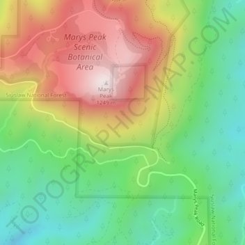
Name: Coast Range topographic map, elevation, terrain.
Location: Coast Range, Benton County, Oregon, United States (44.49995 -123.55005 44.50005 -123.54995)
Average elevation: 2,703 ft
Minimum elevation: 1,667 ft
Maximum elevation: 4,085 ft
Benton County trails, hiking, mountain biking, running and outdoor activities
Other topographic maps
Click on a map to view its topography, its elevation and its terrain.