
打洛镇 topographic map
Interactive map
Click on the map to display elevation.
About this map
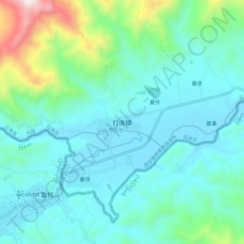
Name: 打洛镇 topographic map, elevation, terrain.
Location: 打洛镇, 勐海县, 西双版纳傣族自治州, 云南省, 中国 (21.65982 100.01299 21.73982 100.09299)
Average elevation: 2,690 ft
Minimum elevation: 2,021 ft
Maximum elevation: 5,719 ft
Other topographic maps
Click on a map to view its topography, its elevation and its terrain.