
勐遮镇 topographic map
Interactive map
Click on the map to display elevation.
About this map
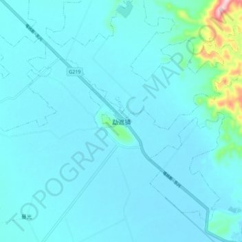
Name: 勐遮镇 topographic map, elevation, terrain.
Location: 勐遮镇, 勐海县, 西双版纳傣族自治州, 云南省, 666100, 中国 (21.95696 100.22265 22.03696 100.30265)
Average elevation: 3,937 ft
Minimum elevation: 3,858 ft
Maximum elevation: 4,738 ft
Other topographic maps
Click on a map to view its topography, its elevation and its terrain.