
布朗山布朗族乡 topographic map
Interactive map
Click on the map to display elevation.
About this map
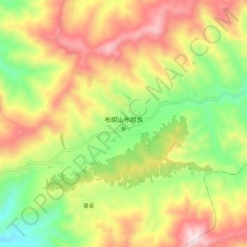
Name: 布朗山布朗族乡 topographic map, elevation, terrain.
Location: 布朗山布朗族乡, 勐海县, 西双版纳傣族自治州, 云南省, 中国 (21.54530 100.37148 21.62530 100.45148)
Average elevation: 4,564 ft
Minimum elevation: 3,199 ft
Maximum elevation: 6,083 ft
Other topographic maps
Click on a map to view its topography, its elevation and its terrain.