
Claveria topographic map
Click on the map to display elevation.
About this map
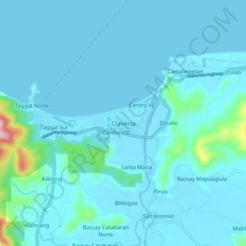
Name: Claveria topographic map, elevation, terrain.
Location: Claveria, Cagayan, Cagayan Valley, 3519, Philippines (18.56516 121.04064 18.64516 121.12064)
Average elevation: 102 ft
Minimum elevation: -3 ft
Maximum elevation: 1,319 ft
Other topographic maps
Click on a map to view its topography, its elevation and its terrain.