
溾水 topographic map
Interactive map
Click on the map to display elevation.
About this map
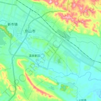
Name: 溾水 topographic map, elevation, terrain.
Location: 溾水, 荆门市, 湖北省, 431800, 中国 (30.95895 113.09149 31.02848 113.22441)
Average elevation: 358 ft
Minimum elevation: 121 ft
Maximum elevation: 1,184 ft
Other topographic maps
Click on a map to view its topography, its elevation and its terrain.