
石牌镇 topographic map
Interactive map
Click on the map to display elevation.
About this map
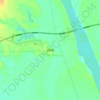
Name: 石牌镇 topographic map, elevation, terrain.
Location: 石牌镇, 荆门市, 湖北省, 中国 (30.94639 112.46087 31.02639 112.54087)
Average elevation: 141 ft
Minimum elevation: 112 ft
Maximum elevation: 207 ft
Other topographic maps
Click on a map to view its topography, its elevation and its terrain.